Day 3 was our hardest pedaling day of the trip. We woke to a chilly, rain-free morning and began the packing up process, leaving the tent for last so that it would have a chance to dry some from the previous night’s rain. It was oatmeal and apple cider for breakfast and a nice warm sink bath before heading out onto the trail.

breakfast at Outflow camping area in Confluence, PA
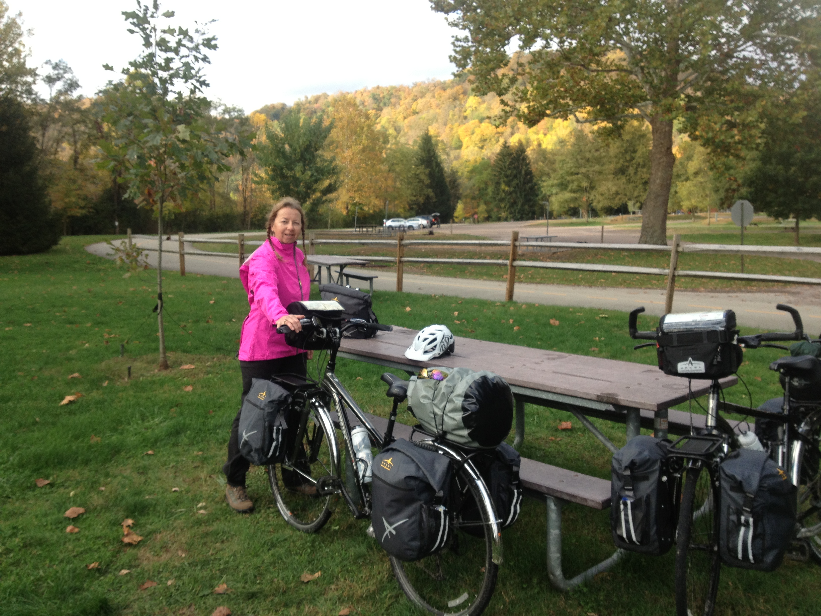
Outflow camping area in Confluence, PA
I knew from my planning before we left that we were going to have one hard day of uphill pedaling. I had thought it would be day 2, but because of the rain delay and our mileage covered on day 2, day 3 became the uphill pedaling day. When you start from Pittsburgh with an elevation of 720 feet, and ride toward the Eastern Continental Divide 125 miles later, your elevation change is 1,670 feet up. Our ride on day 3 from Confluence to the Divide was a change in elevation of 1,050 feet over a 37 mile stretch, and we noticed. Several times throughout the day I mentioned to Dear Husband how everyone we passed going the other way made pedaling look so easy, almost whistling as they went by. Fortunately the beautiful day and amazing landscape along the way kept us good company as we pedaled toward the Eastern Continental Divide and the downhill stretch on the other side.

GAP Trail between mile marker 62 and 32

GAP Trail between mile marker 62 and 32

GAP Trail between mile marker 62 and 32

GAP Trail between mile marker 62 and 32

GAP Trail between mile marker 62 and 32

GAP Trail between mile marker 62 and 32

On our way toward the Divide we made a lunch stop at mile 43.5 in Rockwood, PA. There was a little convenience store that sold hot sandwiches. We grabbed a couple hamburgers, a bag of chips, some chocolate milk to wash it down and found a small table outside to keep an eye on our bikes and refuel for the final push to the Divide.

At mile 52 we got to ride through the newly opened Pinkerton Tunnel. Up until just a few days before our trip the trail included a 1.5 mile detour around the tunnel because of unsafe conditions. Dear Husband suggested that we were missing things by not riding the detour, to which I replied, “No, we get to experience new and different things.”

GAP Trail, Pinkerton Tunnel

pit stop on the GAP Trail

Pit stop at Garret, PA mile marker 36 on the GAP Trail

GAP Trail between mile marker 62 and 32
One iconic portion of the trail lies at mile marker 33.5. It is the Salisbury Viaduct, “…the Salisbury Viaduct, at 1908 feet long, dominated the valley. The 101-foot-high steel trestle was a key engineering achievement for the Western Maryland Railway Company’s Connellsville Extension.” Trail Book 11th Edition The Viaduct crosses over route 219 and the view of the valley below is breath-taking.

Salisbury Viaduct on the GAP Trail

Salisbury Viaduct on the GAP Trail

view from the Salisbury Viaduct on the GAP Trail

view from the Salisbury Viaduct on the GAP Trail

Salisbury Viaduct
After crossing the Salisbury Viaduct the trail passes by Meyersdale, PA, crosses the Bollman Bridge, and the Keystone Viaduct before reaching the Eastern Continental Divide.

Visitor’s Center at Meyersdale, PA on the GAP Trail

Meyersdale, PA on the GAP Trail

Bollman Bridge on the GAP Trail

Bollman Bridge on the GAP Trail

Bollman Bridge on the GAP Trail

view from the Bollman Bridge on the GAP Trail

GAP Trail near the Eastern Continental Divide
After a gorgeous afternoon of hard pedaling we managed to reach the top!

Eastern Continental Divide on the GAP Trail

Eastern Continental Divide on the GAP Trail

The elevation changes on the GAP Trail and the C & O Canal

The tough uphill, I’m glad we didn’t choose to come the other way!
The view from the other side was another good one!

Eastern Continental Divide on the GAP Trail

view at the Eastern Continental Divide on the GAP Trail

view from the Eastern Continental Divide on the GAP Trail
The ride now was DOWNHILL, just what we had been looking forward to all day. But, before we could let the wheels roll we had to stop and put our feet on the Mason/Dixon Line. “In the mid-1730’s the border conflicts erupted into violence between settlers claiming various loyalties to Maryland and Pennsylvania and became known as Cresap’s War. The English team of Charles Mason and Jeremiah Dixon were commissioned to survey the boundaries between the colonies as part of the resolution of the dispute. The line was surveyed between 1763 and 1767 and proved to be feat of remarkable accuracy. This famous line bears their names.” Trail Book 11th Edition

Mason/Dixon Line on the GAP Trail

Mason/Dixon Line on the GAP Trail
Our next stop was Frostburg, MD. I had read in the guide book that to reach Frostburg, bikers would take a switch back trail up to the amenities. We found out that not only did we have to take an uphill zig-zag trail to the campground, but at the campground itself there were 6 steep wooden ramps that led to the camping area behind the Trail Side Inn & Cafe. After 37 uphill miles and 9 more downhill to reach this camping spot, we laughed at the effort it took to push our weighted-down bikes up these challenging ramps. Our reward was a long, hot shower. It is a place we won’t soon forget!

Trail Side Inn & Cafe, Frostburg, MD

looking down the ramp at the Trail Side Inn & Cafe

pushing up the ramp at the Trail Side Inn & Cafe in Frostburg, MD

camping at the Trail Side Inn & Cafe in Frostburg, MD

camping at the Trail Side Inn & Cafe in Frostburg, MD

camping at the Trail Side Inn & Cafe in Frostburg, MD
At the bottom of our many steep wooden ramps in Frostburg is the Frostburg Depot Station and turntable. Visitors to Frostburg can ride the train to Cumberland, MD and back during the months of May to December. It was fun to see the train come in and be turned on the turntable.

Carriage Museum next to the Frostburg Depot Station, Frostburg, MD
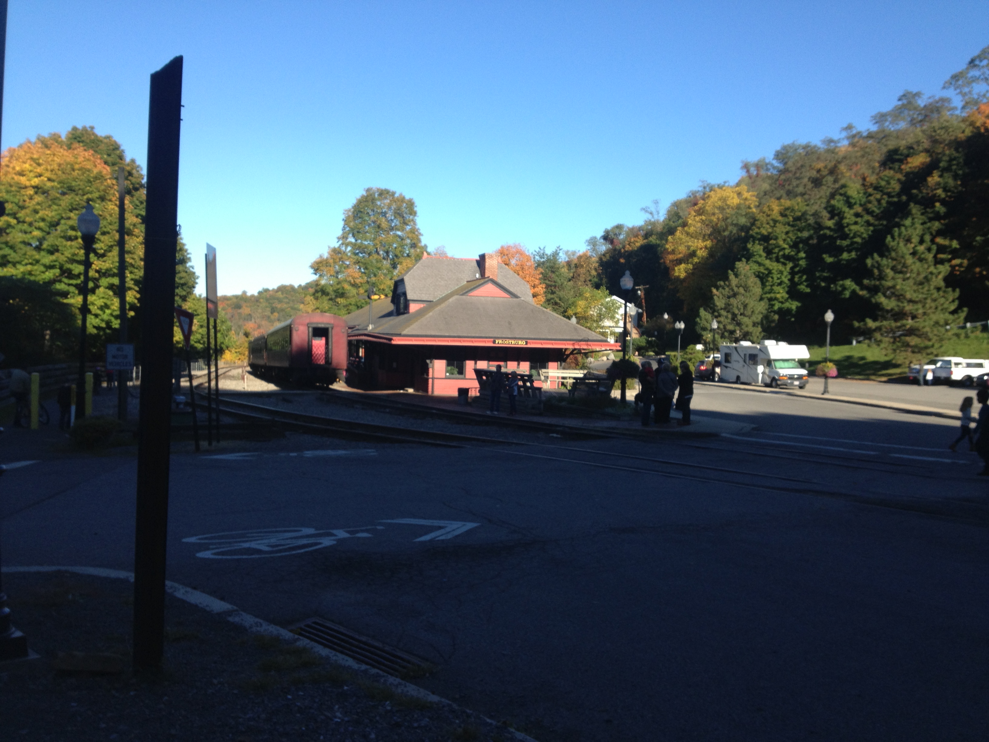
Frostburg Depot Station, Frostburg, MD
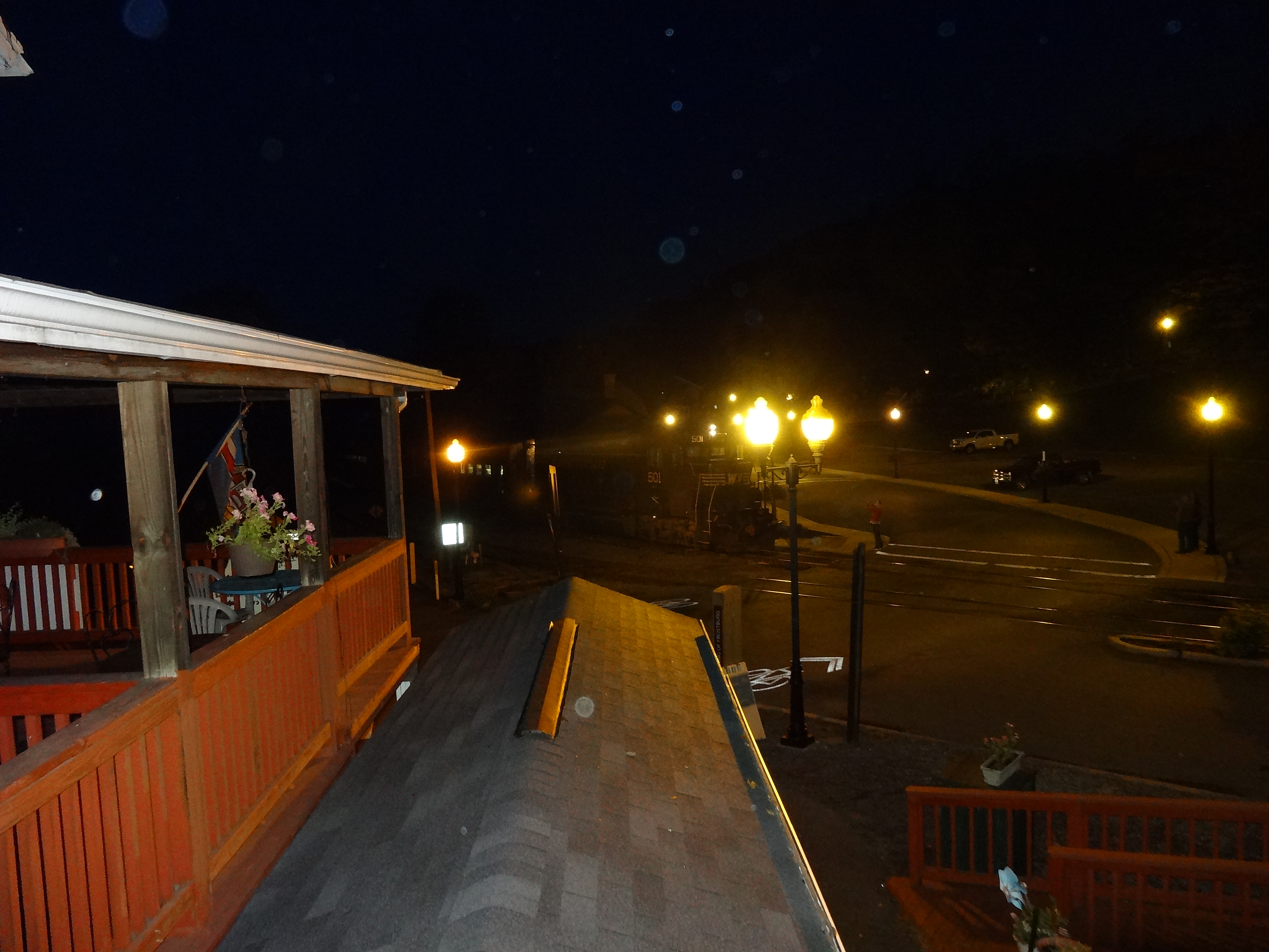
Train coming in to the Frostburg Depot Station, Frostburg, MD

train turntable in Frostburg, MD
After enjoying our hot shower and a supper of chicken and rice, we climbed into bed knowing our search for courage was over, we were stronger and wiser and ready to reach the GAP Trail end tomorrow.
137 miles completed in 14:54 hours pedaling

I love this! Such pretty views you had. Are you a little let down now that is is over? I am so impressed with your determination to bike this…and still be happily married!!!! 🙂 You 2 ROCK!
LikeLike
The scenery on this day was beautiful! I’m loving reading about your trip – and I’m amazed at how much biking you did! Your poor butt 😉
LikeLike
GInger, I thought of Wendy’s butt too LOL Now that sounds a bit strange, but that was the first thing I asked about…how sore was your butt? 🙂
LikeLike