We got a late start on day 4. I woke early hoping to get another shower before we left this campground because I didn’t think we would have access to shower facilities again on our trip. When I made the trek down all the steep ramps to the shower room at 7:00 am I found the bathhouse/bathrooms locked. Again, insert sad face here ;-(….back up the ramps I went, I tried again at 7:30, locked….and again at 8:20, locked, but this time someone was coming out of a portion of the building and when I commented about the locked door they looked surprised and unlocked it for me. Yeh! It seems the door wasn’t supposed to be locked. Thank goodness, I sure other people beside me would like to use the restroom before 8:30 in the morning.

looking down the ramp at the Trail Side Inn & Cafe in Frostburg, MD
While I was showering, Dear Husband started packing up, and a fellow camper/biker stopped by our tent. He had his own biking stories and once again we found inspiration for future adventures. It was nice to hear personal advice from seasoned bikers. So after a quick breakfast, a shower, and good conversation we made our way back out of Frostburg, enthusiastic about reaching our first big goal, the end of the GAP Trail.

leaving Frostburg, MD on the switchback trail connecting the GAP Trail to the Frostburg community
The trail from Frostburg, MD to Cumberland MD shares the corridor with the Western Maryland Railroad.

riding along side the Western Maryland Railroad on the GAP Trail between Frostburg, MD and Cumberland, MD

riding along side the Western Maryland Railroad between Frostburg, MD and Cumberland, MD

Riding the GAP Trail along side the Western Maryland Railroad taking passengers from Frostburg, MD to Cumberland, MD
One of the gorgeous sections of the trail lies at mile marker 5, Helmstetters Curve. “This famous railroad landmark is a sweeping 180-degree horseshoe curve. It is named for the family whose farm it bisects…” Trail Book 11th Edition The sign along the trail stated that this curve allowed railroad riders the unique experience of the front of the train being able to see the back of the train.

view along Helmstetters Curve on the GAP Trail

view at Helmstetters Curve on the GAP Trail
We reached Cumberland at lunch time and were hoping to find a place to eat a Sunday brunch kind of meal. Near town we passed by a police officer and asked her advice about a restaurant. She directed us to the Pedestrian Mall where we found a nice coffee cafe that was indeed offering Sunday brunch food. Dear Husband was in heaven when they sat his eggs, sausage, toast and pancakes in front of him.

GAP Trail coming into Cumberland, MD

GAP Trail coming into Cumberland, MD

leaving the Pedestrian Mall in Cumberland, MD
Trail Marker in Cumberland, MD
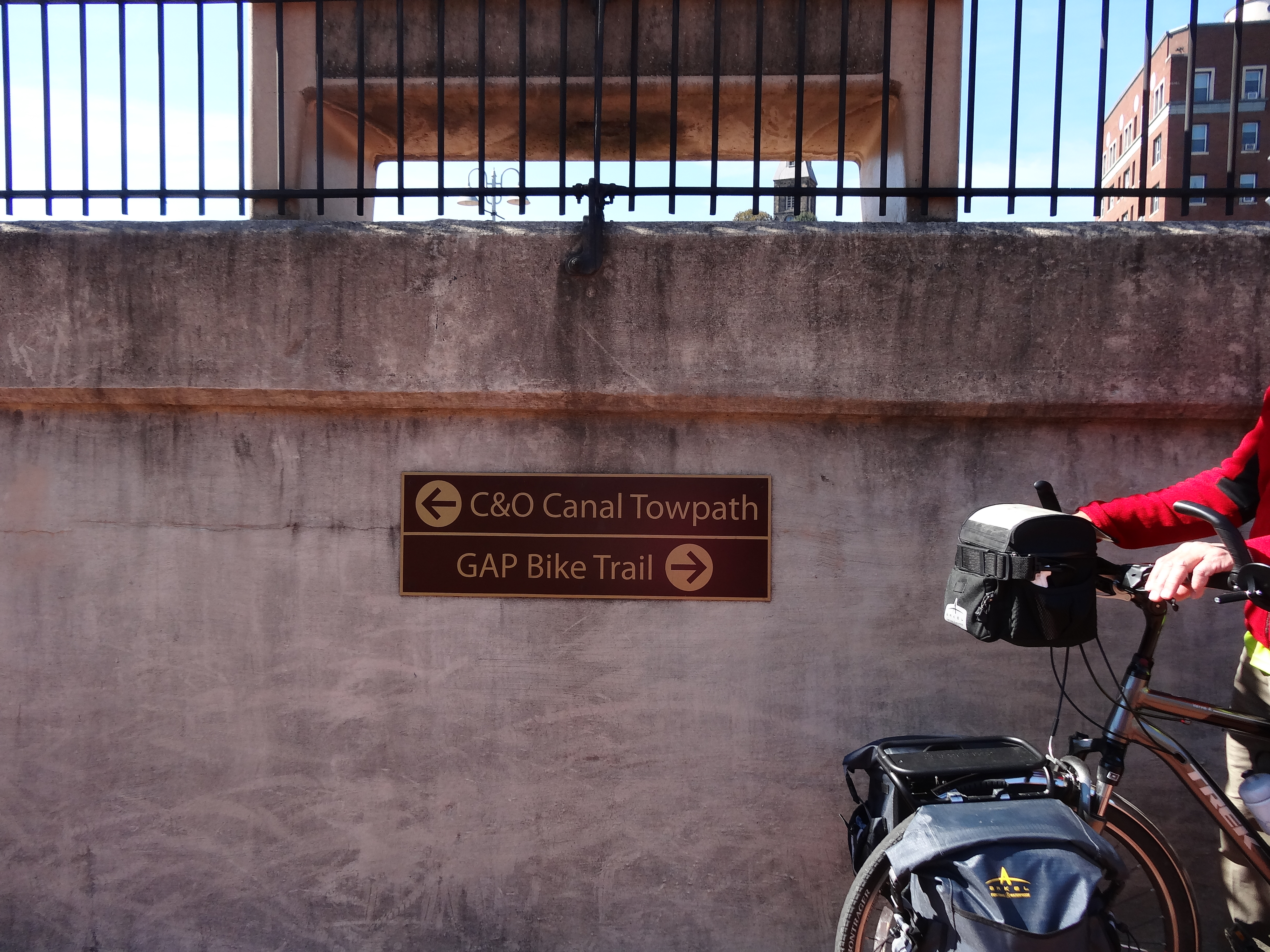
With our bodies refueled we went in search of the end of the GAP Trail and the beginning of the C & O Canal Path.

Yeh! Mile 0 of the GAP Trail in Cumberland, MD

Marker in Cumberland, MD on the C & O Canal Path

Cumberland Visitor Center, Cumberland, MD

Cumberland Visitor Center, statue commemorating the mule path history

C & O Canal Path marker in Cumberland, MD
Dear Husband made a quick stop at the bike shop located at the beginning of the C & O Canal Path for some chain lube, and then we were off on the second half of our journey.

Barge at the C & O Canal Path, Cumberland, MD
The weather and landscape were breathtaking!

C & O Canal Path, Cumberland, MD

C & O Canal Path, Cumberland, MD

C & O Canal Path, Cumberland, MD
Some stretches of the canal are filled with water, while others are not and look more like a wide grass and tree filled ditch. In the wet sections we saw more turtles than we had ever seen in our lives and I think Dear Husband pointed out every one.

some of the many turtles in the C & O Canal

C & O Canal Path, Cumberland, MD

C & O Canal Path, Cumberland, MD

C & O Canal Path

C & O Canal

Muskrat in the C & O Canal

C & O Canal Path

C & O Canal Path

C &O Canal Path
Along the Canal there are, “seventy-four lift locks that adjusted the water levels for the 605-foot difference in elevation between tidewater in the east, and the western limit in the mountains at Cumberland, MD.” Trail Book 11th Edition
Many of the lock houses still stand and some of them are available for overnight stays.

lock house on the C & O Canal Path

lock along the C & O Canal Path

aqueduct along the C & O Canal Path
Our camping spot for the evening was at mile marker 162.1(remember counting backward from 184.5 in Cumberland) Town Creek. The spot was a beautiful setting along the Potomac.

Town Creek camping along the C & O Canal Path

Town Creek camping area at mile marker 162.1 on the C & O Canal Path

water pump on the C & O Canal Path
After starting a camp fire, we decided to wash out a few clothes and take advantage of our fire to dry them.

Town Creek camping along the C & O Canal Path

Town Creek Camping along the C & O Canal Path
This spot was a little noisy, just on the other side of the Potomac were several railroad tracks and the trains were using them all night long. But for me, the picture perfect setting still made this camping spot extra special. We went to bed celebrating our journey over the Greater Allegheny Passage, ready for more adventure along the C & O Canal and feeling at home under our little tent along the amazing Potomac River.
“Home is a place we all must find, child. It’s not just a place where you eat or sleep. Home is knowing. Knowing your mind, knowing your heart, knowing your courage. If we know ourselves, we’re always home, anywhere.” Glinda the Good

Glenda the Good Witch from Wizard of Oz said that? COOL! As usual, your pictures are amazing. Oh the places you have seen! And the place where you camped..beautiful!!
LikeLike